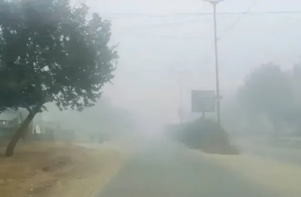
New Delhi: Brace for a chilly winter, the India Meteorological Department (IMD) alerted the country.
Parts of central India, some regions in northwest and northeast India are expected to experience higher than normal cold wave days, IMD said.
The polar vortex, along with La Nina conditions, are likely to push down temperatures over these regions and result in very cold conditions through the next three months, officials said.
Spatial maps indicate that parts of Haryana, Rajasthan, Delhi and Gujarat are expected to record below-normal temperatures.
There is likely to be one to four or more cold wave days in these regions between December and February 2026, compared to normal average. Normally, 5 to 6 days of cold wave are expected in northwest India during these three months.
A cold wave is declared if, for three consecutive days, minimum temperature is less than about 90% daily temperatures recorded and minimum is less than 15 degree Celsius.
Also, normal to below-normal minimum temperatures are likely over most parts of central India and adjoining peninsular and northwest India while above normal minimum temperatures are likely over the remaining parts of the country, IMD has projected.
During December, normal to below-normal monthly minimum temperatures are likely over most parts of central and northwest India, northern parts of peninsular India. Maximum or day temperatures during December are likely to be above normal over most parts of the country except many areas of central India and adjoining northwest and peninsular India, where normal to below maximum temperatures are likely, IMD said.
Monthly rainfall in India during the month of December is most likely to be normal — 79 to 121 % of the long-period average (LPA). Above-normal rainfall is expected over many areas of peninsular India and west-central India, as well as parts of east-central and northeast India. The rest of the country is expected to record below normal rainfall.
“Below normal temperatures and cold wave conditions over Madhya Pradesh had something to do with the polar vortex and the La Nina conditions. Now again the polar vortex has started impacting,” said OP Sreejith, IMD scientist and head of Climate Monitoring and Prediction Group.
Polar vortex, a large area of low pressure and cold air surrounding both the Earth’s poles, always exists near the poles, but weakens in summer and strengthens in winter, according to the National Oceanic and Atmospheric Administration.
“The forecast is based on a dynamical system. Not many western disturbances are expected over the winter period this time and La Nina will have an impact,” added IMD director general Mrutyunjay Mohapatra.
On the other hand, La Niña refers to periodic large-scale cooling of the ocean surface temperatures in central and eastern equatorial Pacific Ocean, along with changes in the tropical atmospheric circulation, including changes in winds, pressure and rainfall patterns.
La Nina, which impacts climate in a way that is opposite of El Niño, especially in tropical regions, is associated with harsh winters in India.
This time, La Niña is likely to continue into the Northern Hemisphere winter, with a transition to ENSO-neutral most likely in January-March 2026 (61% chance), according to IMD.
Contact to : xlf550402@gmail.com
Copyright © boyuanhulian 2020 - 2023. All Right Reserved.